July 7 to September 30, 2025
Wanna Dance the Western Swing?
Whadya mean they changed their minds? Again?
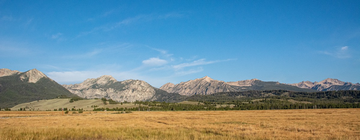
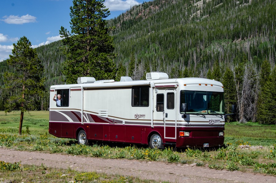
We left you last at the top of South Pass in southwestern Wyoming, at 8,000’ it’s one of our favorites for cool temperatures in the summer. Tis a great spot to hang out in, but now we were ready to get going again. We’d been having intermittent problems with Slim Charles not being up to his usual spritely self, had already started having the problems investigated at the Cummins shop in Billings, WY and were heading towards Salt Lake City for repairs. Billings had forwarded us to them, and had the parts sent there to be waiting for us.
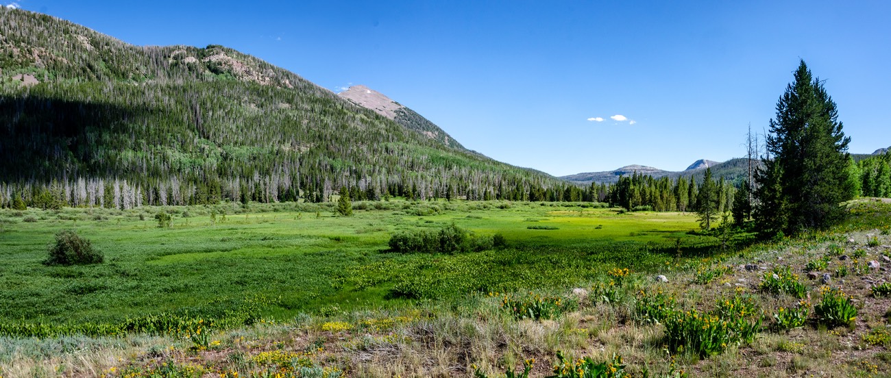
Along the way we wanted to drive Highway 150 south from Evanston, Wyoming, through the Uinta-Wasatch-Cache National Forest and then down into SLC. This route had been highly recommended by fellow travelers but we had not driven it before.
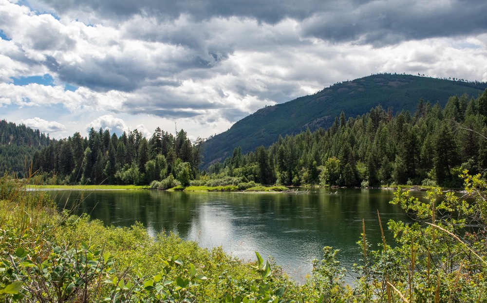
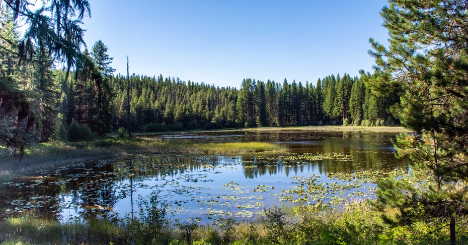
Well, it’s a doozy alright. As we climbed into the mountains in early July everything was green and lovely, with wildflowers blooming in all their glory. We hunkered down in a wonderful spot alongside a meadow and settled in for a couple of days. We had a little time to kill before going on into SLC and the Cummins shop, and we’d found a perfect spot to pass the time. Really nice.
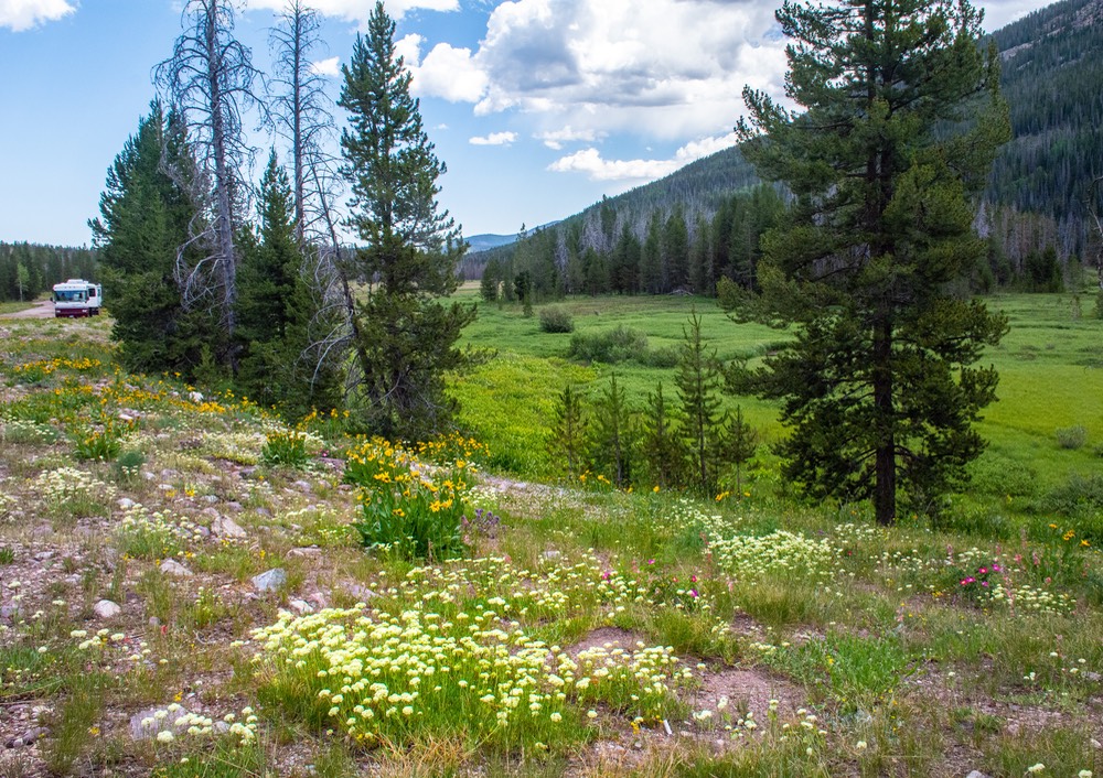
The morning we got back on the road we continued up and over Bald Mountain Pass before descending down into the valley. This is a beautiful road and a great place to camp. Lots of lakes and national forest campgrounds. The weather was gorgeous and traffic was light. A really nice drive.
But soon it all changed as we descended into the city. We got to thinking about pioneers, so many years ago, who had been hauling themselves across the prairies and mountains, and how overjoyed they must have been to have arrived at long last. Not only had they reached their goal — their hope for a new start — but they found a friendly and open landscape awaiting them. These days, of course, it’s a huge metropolis, but still…
We too had crossed the plains and mountains to reach this point, but in our modern day story, we had a motorhome that needed repairs. We had the same high hopes for success as those earlier travelers, which in the end we did achieve, after more than two bloody weeks of first waiting for the right parts to arrive and then waiting for the work to be finished.
Fortunately we were able to spend most of it with our friends Gary & Carol at their home in Uintah, a small suburb near Ogden on the north side of the SLC area. (By the way, this is not a typo. Uinta is also spelled Uintah; cannot tell you why, but it is true). Gary and Rick worked on the coach, we all spent time out by the pool, we ate well, watched some movies and just enjoyed being together.
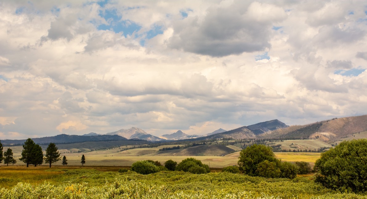
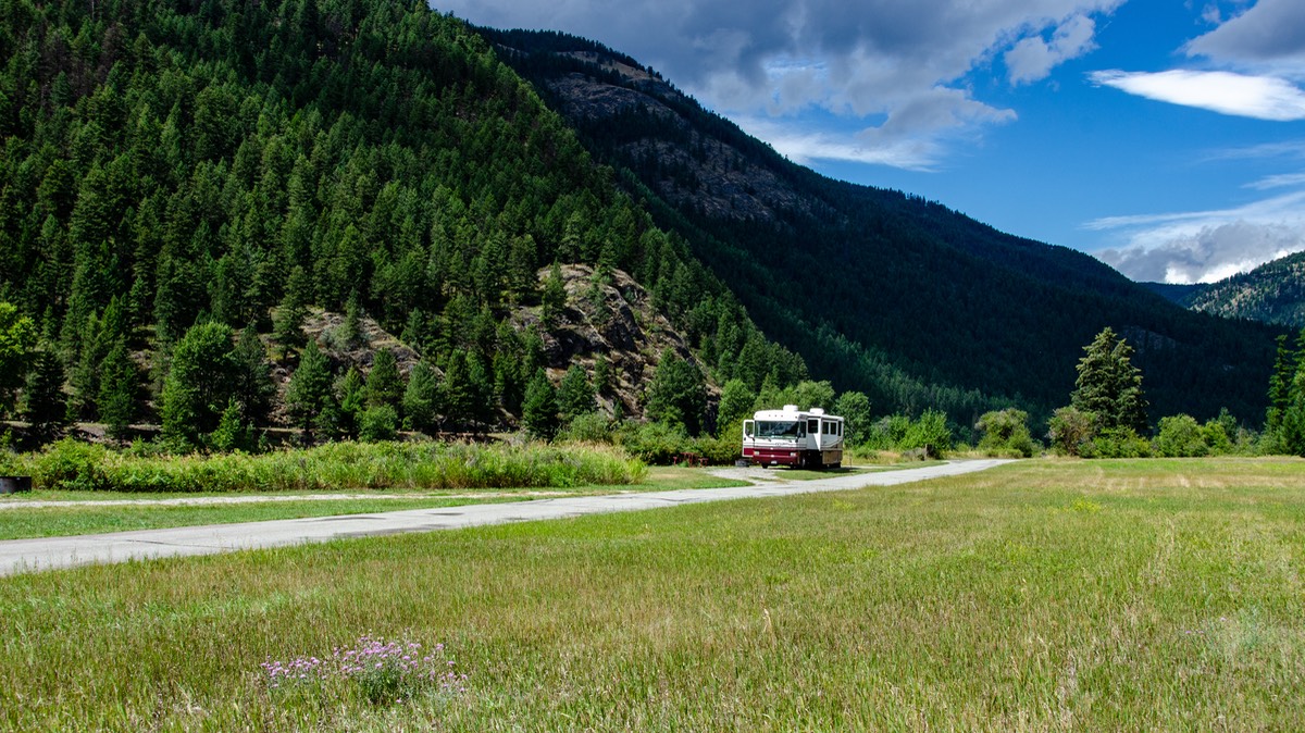
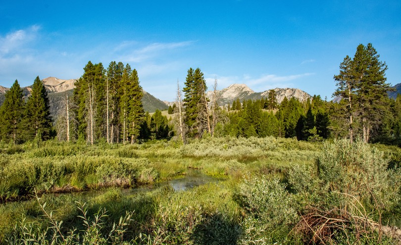
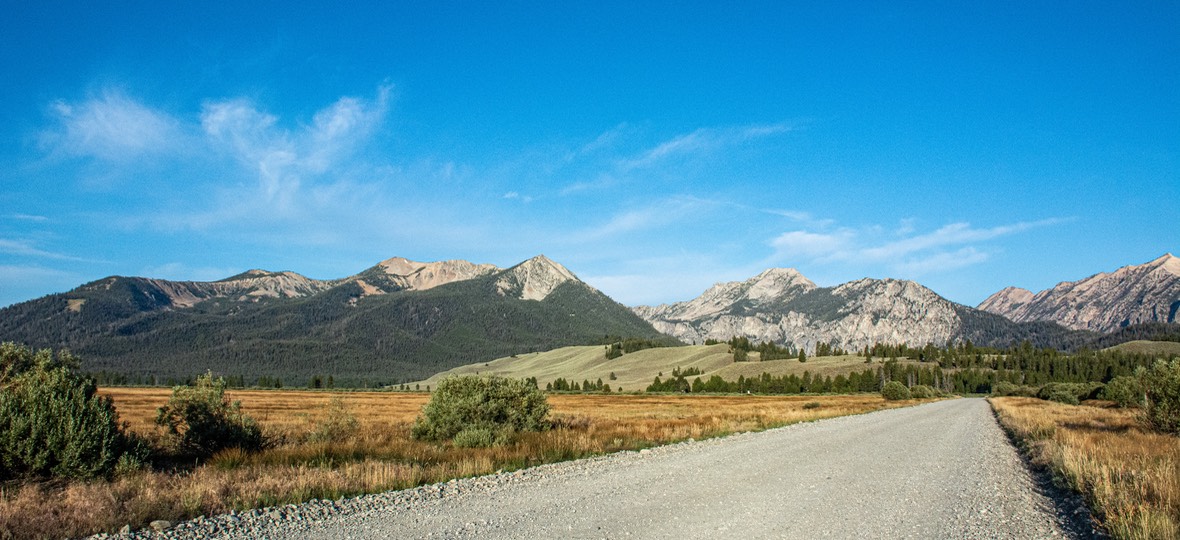
And then finally the work was done, and we were able to get back on the road. We’d been staying in touch with our buddy Lisa, whom we were still hoping to visit, and who was camping near Lake Petit, up in Idaho, in the Sawtooth Mtns where we had last visited her in 2023. She had her dogs with her, plus her paddle board, and was keeping an eye out for us. We spent a couple of days getting to her, but it was a very pretty drive and we were delighted to be moving again. Our path took us over Galena Pass, at 8790 feet in elevation. We treated the rig gently at first, making sure everything had been repaired and that all was well, but we’re happy to report we seemed to be in good condition! Quite a relief. We joined our friend at her camping area partway up Hwy 75, somewhat south of Stanley. The mountains and meadows are incredibly lovely — one of our favorite haunts.
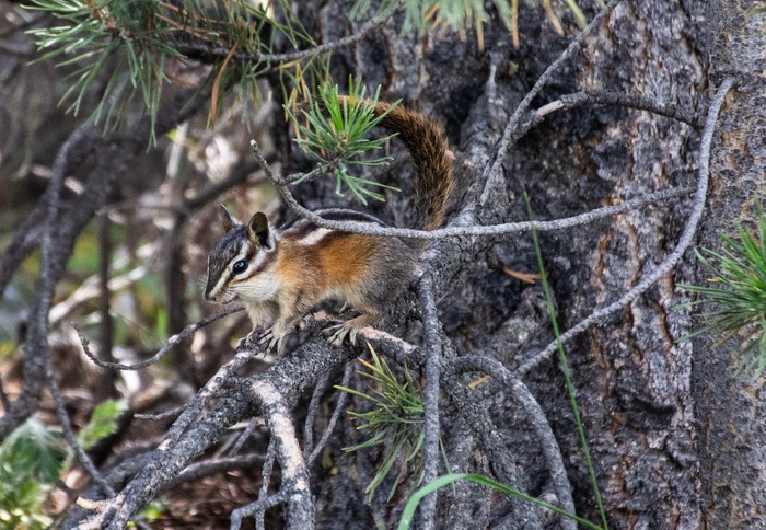
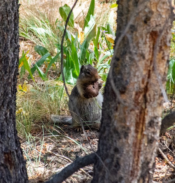
We had a terrific time together, taking the dogs for a walk, or hiking, or sitting and chatting and enjoying each others’ company. Lisa is a great friend. We hung out together for several days. There were deer and squirrels and chipmunks to chase after (by the dogs, silly), favorite movies to enjoy at night, and lots of discussions about how to achieve (and then maintain) a happy and balanced life.
Finally we all needed to move on so we began moving further north, starting towards Missoula, Montana. We crossed the 45th parallel for the first time this year, then on into the town of Salmon, and suddenly we were in Montana.
Crossing the Continental Divide at Chief Joseph Pass (at 7264 feet), we drove through the town of Hamilton, and then on into Missoula.
Why were we in Missoula? Well, for one thing we’d arranged for several things to be sent to us there. Also, we had friends who would be passing through about the same time we would be there, and… two other friends a bit further north with whom we hoped to cross paths in early August — in Canada. Lots of details to work out, and these days that takes wifi access. So we spent time getting organized, having a great pizza lunch at the MacKenzie River Pizza joint, etc. Then finally moved on.
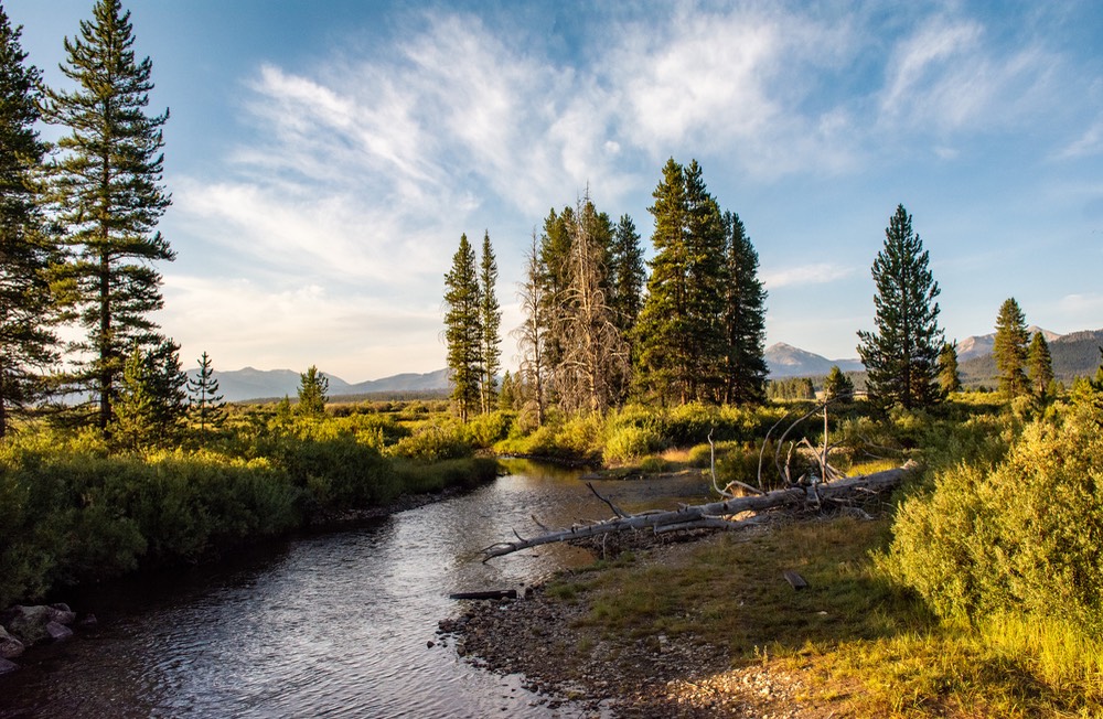
When we left Missoula, we were following the Clark Fork River, and heading for the town of Libby, further west in northern Montana. One of the best reasons for taking this road, which follows the Clark Fork for much of the trip, is that it is incredibly lovely. And there are several small free camping areas along the way, many of them beside this pretty river. Magnificent. Also, Libby is a very good crossroads for traveling further north, into Canada. From Libby we would follow the Kootenai River towards a campground near Libby Dam. And that was where we were headed.
On the way there we stopped in Libby for some shopping, and a taste of civilization, then headed out to our target, a camping area below the dam called Dunns Creek Flat, where we had stopped a couple of times in earlier years — the last time in 2007! Amazing!
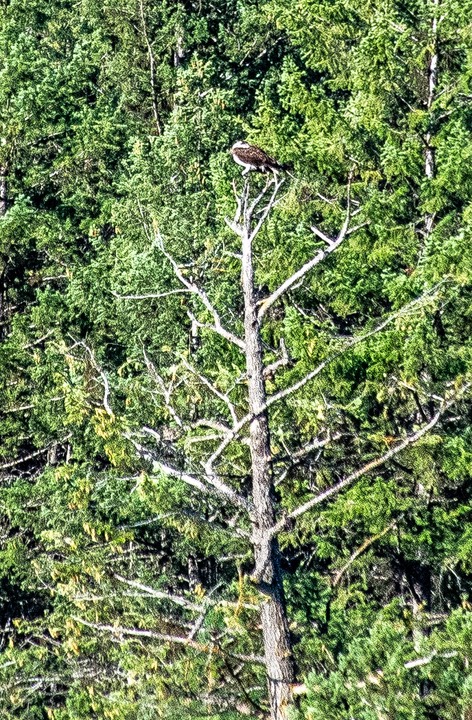
This is a stunning, incredible spot that grabs you and doesn’t want to let go. We will certainly come back again. For us, on this trip, it mattered that we had no wifi access; but we went into town every few days to catch up. By now we were trying to finalize plans to meet our friends further north, across the border into Canada. We could have stayed much longer as this is still a beautiful, serene spot along the river, with osprey and other birds keeping an eye on the fish from high up in the trees across the river. It was remarkably unchanged after eighteen years!
But it was early August by now, and our German friend, Diana, had arrived in Vancouver on the first. Our plan was to meet up with her after she got settled and had picked up the vehicle she was having shipped to her. Diana was about to start an incredible adventure — a 3-month trip north to Alaska, the Territories, Prudhoe Bay, and every other thing she could squeeze in before the snows forced her back down into southern Canada. The other friend we were going to spend time with was in the Calgary area — we hoped to see her later in the month.
From Libby we headed west on Highway 20 across the lovely northern edge of Montana into the top of the Idaho panhandle. There, we gained an hour, but lost no sense of the loveliness of the area, and saw our first Idaho deer of the season. They could hardly be bothered to get off the road, but we managed to avoid them.
We drove the 70 miles across the state of Idaho, mostly alongside lovely bodies of water and clumps of very green forest. The area is filled with vacation homes and campgrounds; Bonners Ferry, Sandpoint, Priest River and, a little further south, the huge Pend Oreille area. We then crossed into the far northeastern corner of Washington State and kept moving on.
By now the road was zig-zagging through the mountains, up and down, in and out, great on a motorcycle but a bit more headachy in a 36-foot motorhome. But we were just fine.
We were delighted to stop for the night in the Colville National Forest, at a spot called Frater Lake, at a trailhead on Highway 20 between the no-wheres of Tiger and Coll. Yeah, you can look it up — good luck! We had a quiet night by the Pend Oreille River.
We are following the river through the mountainous wooded areas. There were lots of bald eagles to spot and enjoy. And plenty of lumber trucks to stay away from. At one point we passed a VERY large lumber yard— acres and acres of huge logs awaiting their turn in the mill. This is incredibly beautiful country up here. We were on Hwy 20 because we really enjoy the far northwestern-most part of our country, still very rugged and green and isolated. This road goes all the way through the Cascade Mountains and basically emerges at the edge of the city of Seattle.
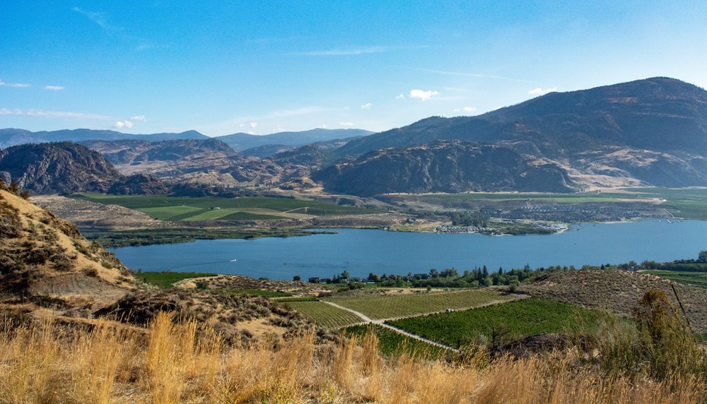
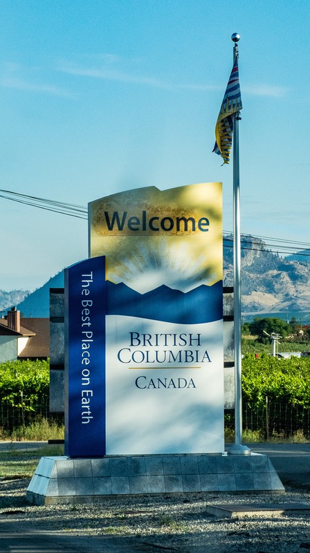
But Seattle wasn’t our goal. Southern Canada was. We had picked a small border crossing just north of the Washington town of Oroville. This was in the upper part of the Okanagan Valley. To reach it we turned north off 20 at the small town of Tonasket, through Oroville, and crossed the border into Osoyoos, BC. The crossing took us about 5 minutes.
We need to comment here that we’d been warned that some folks were having trouble crossing in and out of Canada these days. Not so today, not for us. They were efficient, pleasant, asked the usual questions about guns and certain fruits and vegetables— and sent us on. I’d been avoiding buying fresh fruit for at least a week, not being sure what they might snatch, but all they wanted was to know that the seeds had been removed. So much for that anticipated trauma! We stopped at the first fruit stand we saw after crossing the border and filled our larder again. The peaches were incredible!!! Then onward!
We took highway 3 across the southern edge of British Columbia, and that turned out to be a mistake. The road is being upgraded (gee — sound familiar?) and redone all the way west to Hope and beyond. You know the situation. Once a road is designated To Be Redone, all normal maintenance stops so the road gets worse and worse until the parts being repaired are all messed up by the construction, and the other parts are just plain horrible. Ah well. Should have gone north to Kelowna, then turned west from there. Live and learn. But we were meeting Diana in the town of Hope. And she figured she’d get there in just a few days.
And finally we hooked up with her. It was just great to see Diana again. Our only other time together had been in Australia back in 2018. We’d stayed in touch ever since, and after a bit of a struggle we now were going to be together.
It was a short but delightful visit. Diana was very anxious to get on the road and get as far north as the weather would allow. She’d been delayed getting started because of some shipping issues, etc. and now she needed to begin. As her motto says, “The Way is the Road.” Her overall plan was to beat feet up as far as possible, and then follow the fall color as she drifted back down.
And that is what she is doing. We are getting wonderful photos from her — beautiful quiet rivers and mountains, the Northern Lights, and even a bit of early snow. She’s having a ball. We eventually had to wave goodby, after many hugs and promises; she went north and we turned south, crossing back into the States below Abbotsford. Yes, we know! We certainly didn’t get very far into Canada.
And this is why: we had hoped to spend some time with a Canadian buddy (Becky) whom we had previously met in Namibia, in southern Africa, also in 2018. She lived not too far away — near Calgary in western Alberta Province. But she had a family emergency and had to cancel out. So we sat and pondered for a bit. Our original intentions had been to proceed east from Calgary, enjoying the middle of Canada, through Alberta, Saskatchewan, and at least Manitoba, before heading back down into the States. But with Becky not being able to spend time with us, things had changed.
We’d been looking forward to a visit with both Diana and Becky, perhaps all of us together. That wasn’t in the cards for us, but our two intrepid friends kept in touch with each other and just as we were preparing this message for you we got an email with this photo describing the lovely visit they have had together at Becky’s home and sharing their plans to get together again next spring when Diana returns to North America for the second part of her sabbatical. That’s Diana on the right.
We did a bit of soul-searching and decided to head for the West Coast of the U.S. instead. We realize that we’re getting older, and that these long-distance trips were taking a lot out of us, more than in prior years. We had several family members on the coast, as well as close friends of many years who are also all getting older and even a new daughter-in-law. What if by next year we weren’t up to the long trip? We were so far west already, maybe this was our last and best chance to get there. We didn’t even need to toss a coin; ultimately, this was an easy decision to make.
So we started back down the hill to the border. The crossing below Abbottsford was also simple and short. Amazingly, crossing on a Saturday proved to be a boon. The Border folk had set up a separate crossing spot for RVs, and once again we were in and out in less than 5 minutes.
We headed back down, now on the western side of the Cascade Mountains, almost into the edges of Seattle. We came into Sedro-Woolley, one of the more interestingly named towns in the state of Washington. Who knows where that came from! (Okay, okay, I did some research. The town is the combination of two chunks of rural countryside. Probably couldn’t agree on which town’s name should be chosen… and woolly sedro sounds too much like an extinct mammal).
At Sedro-Woolley we turned east, back onto our old friend Highway 20, into the Cascades again, to the town with the strange name of Concrete. So named, we think because we were in an area of huge dams and lots of spillways, etc. — which tend to use concrete a whole bunch. It was good to get back out into the countryside, and it was lovely and cool. Trees everywhere, many with moss on the trunks. We were at about 5,000 feet.
Soon we crossed the Pacific Crest Trail, one of the great hiking trails in the U.S., at about 5450 feet. On the east side of the crossing was the Methow River; this is a really lovely spot. Lots of people there, enjoying the views and the hiking opportunities. The trail goes right across the river; it makes you want to get on the trail just so you could hang your head over the railing — a couple hundred feet in the air! Cool.
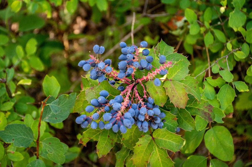
We were seeing lots of bushes with ripe berries of various kinds — blue, orange, yellow, red; wondered if they were edible. Going along Hwy 20 there were tons of bicyclists and joggers coming up the grade to the crest of the Northern Cascades Scenic Highway, as Hwy 20 is known in the area. It’s a really gorgeous ride, and we enjoyed it a lot. We crossed Loup Loup Pass (4020 feet) heading for the Okanagan Valley where we stayed the night outside Omak. (loup is French for wolf).
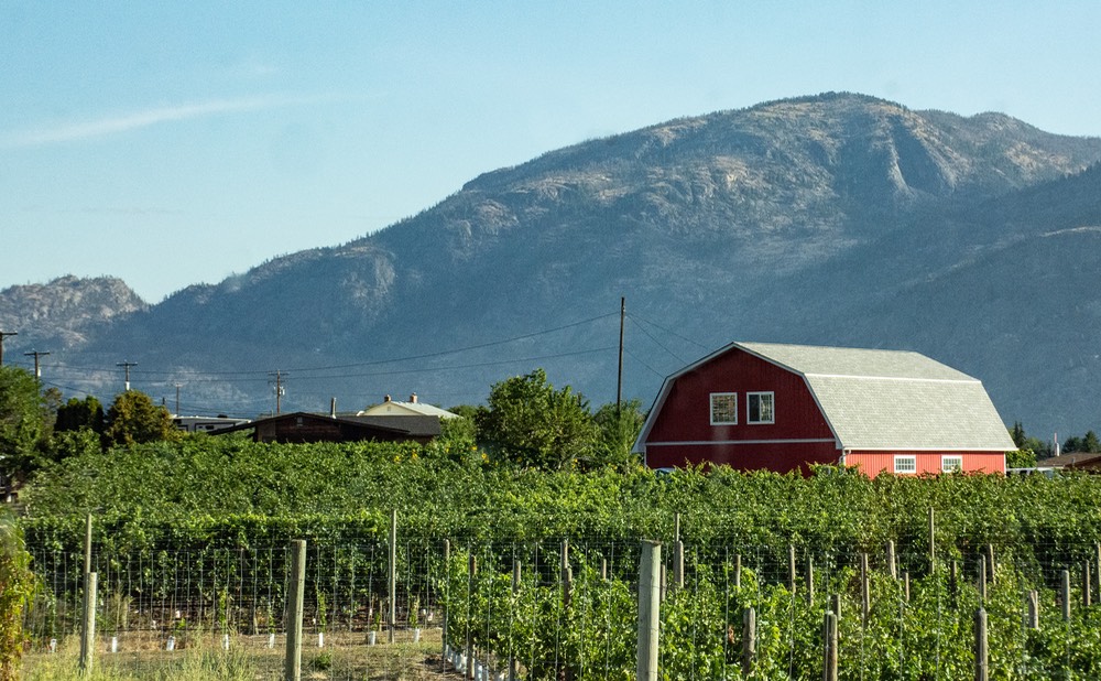
The Okanagan Valley is a very special area in western Washington, filled with fruit orchards that have fed much of the western world for many years. It’s lovely to drive through, either going further south along the Methow River, or turning north as your road of choice as you head up into Canada from the south. It’s great to stop and either buy apples, grapes, etc., or pick them yourself. At Omak we realized we were only about 24 miles south of Tonasket, the town where we had turned north up to Canada a couple of weeks earlier. A circle drive of the Cascade Mountains.
We continued further south down the Okanagan Valley, past the Chief Joseph Dam, and crossed the Columbia River. Further down, past Soap Lake (still cannot figure out why that is what it is called) into Ephrata. This whole area (Grand Coulee Dam and surroundings), is very interesting; it deserves a week or so all by itself to explore, particularly the Dry Falls area.
As we drive through this area filled with dams and other “water” structures, we are moving gently southwest towards Yakima. The Methow River has now joined the Columbia; we cross it over the Vantage Bridge. There is an astounding accumulation of dams, water courses, agriculture, and healthy, growing towns in the area. We managed to skirt Wenatchee, but now turned south from Ellensburg, still heading for Yakima. We wondered about our old cats, Agnes and Jeremy; were they still alive? They traveled with us for several years during our early adventures, and then we had given them to a Yakima couple back in 2004 so they could have a quieter life. As we continue our drive, there are apples just starting to be picked. They are everywhere. The perfect time to drive through.
We had been driving south while angling toward the western edge of the state, and were approaching Oregon. We went over the Lewis and Clark Bridge, waved hello to Oregon, and drove through the very active city of Astoria. Boy that town has grown! We drove down the western peninsula, along the Pacific Ocean, accompanied by a bunch of logging trucks. Over the Columbia River again and on to Clatskanie. Great names up here in the northwest.
We had ended up on this very lovely and interesting route because we’d gotten weary of tiny squiggly roads further into the interior. We stopped to look at the huckleberry bushes (not quite ripe yet) and wished we were a week or so later in the season.
We wandered through Oregon, seeing friends and family, and trying unsuccessfully to dodge a nasty heat wave as we moved south through the state. The heat wave got worse as we went through the Siskiyou Mountains and by the time we crossed into California nothing seemed very interesting. We went past Mt Shasta — half buried in drifting smoke. We saw no active fires, but water levels varied in the extreme, all the way down through the area. Some were quite full, but mostly very low; California has had a difficult time of it, water-wise.
Dropping further down in California we found we were having a rough go of it due to the heat. We finally had to cancel out on some plans, and head to the coast, where it was much cooler. Fortunately, it stayed cool once we got there. When it comes to hot weather we’re just a couple of wimps it seems!
After a lovely cool interlude with friends in the Watsonville area, we moved on to spend a very nice 10-12 days in our old stomping grounds in the San Luis Obispo area, seeing friends, etc. We visited with four friends in their 90s and several more in their 80s, and realize this may be the last time around for us to see some of these great people; it was important to seek them out. We also got to see Rick’s son and meet his new wife, Tammy. Then we left the area, heading east towards Alabama and home.
We left the Coast by way of Hwy 166 east from Santa Maria, wondering about the results of a really nasty fire along the way towards Bakersfield; many thousands of acres had been burned. But it was now clear for driving through, and the rest of the area was lovely as always. East of Bakersfield, and then over Techachapi, we crossed the desert and entered Arizona. We knew we were heading for the barn.
We were keeping to Interstate-40 now, rather than I-10, on our trip further east, as we thought it might be a bit cooler; in general we were correct (good job, Rick!). In northern Arizona the area hadn’t started looking like fall much, and had plenty of flowers to be enjoyed. The trees looked healthy (last week of September).
Then we got out onto the Arizona plains, and it was generally boring and ugly; we kept going. We went through petrified forests and painted desert areas, with various reservations on both sides of the road — the Zuni, Navajo, James, Hopi, Acoma — to list some. In New Mexico we went over the Continental Divide at 7275 feet; and by now we had finally crossed into Mountain Time.
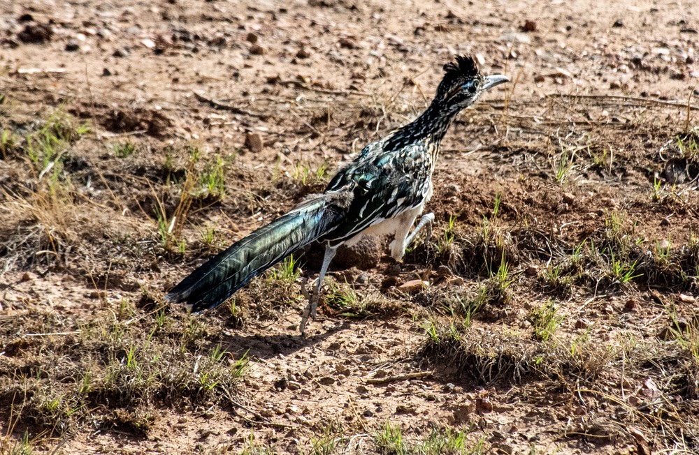
We wanted to stop before we got to the big city of Albuquerque, so we spent the night out in the open countryside, west of the town of Williams, if you know the area. Rick spotted a roadrunner and Kathy was able to grab a quick photo, so that was pretty cool. And we had some cows wandering through for company. Otherwise quiet.
Route 66 is huge in this part of the country. The centennial year of the road’s opening is 2026, and many areas are sprucing up or preparing for celebrations along the well-known road. New exits from the highway; billboards advertising museums, etc. Interstate 40 parallels 66 in several areas, so we got to see some of the preparations.
West of Tucumcari we crossed the Pecos River. We were playing tons Supertramp, Willie Nelson and Dire Straits — windows down and lots of singing going on. We were enjoying ourselves mightily. The more we see of northern New Mexico the more we like it.
And then we crossed into Texas. We were now almost at the chimney tip edge of the Panhandle and trying to get through it and further on, so we headed through Amarillo and crossed into Oklahoma. The Panhandle, along I-40, actually is pretty nice. We enjoyed the zillions of wind machines and a huge national grassland. And then we were in Oklahoma. About 40 miles in, it stopped looking like Texas and got greener, with some water and trees around, but still peaceful to pass across. Oklahoma has the roughest roads we went through this summer. But the countryside is quite pleasant. The Muskogee area is a mass of roads, new and old, and a bit difficult.
By now we’d left central Oklahoma and were angling southeast toward Arkansas. We stopped at one of our favorite shopping spots, the Peach Barn south of Tulsa. Marvelous fruit, jams, and other lovely things. We knew now we could survive all the way to Alabama!
Close to the Arkansas border, we saw our first armadillo, just as we were getting near Ft Smith. And now it’s getting hotter again. After the border crossing, the road got better, and the area was nice and green. We kept going east for quite awhile, then angled south through Little Rock; crossed the Arkansas River — again! — and on down to Pine Bluff. We stayed at a spot southeast of town, pretty close to the Mississippi border.
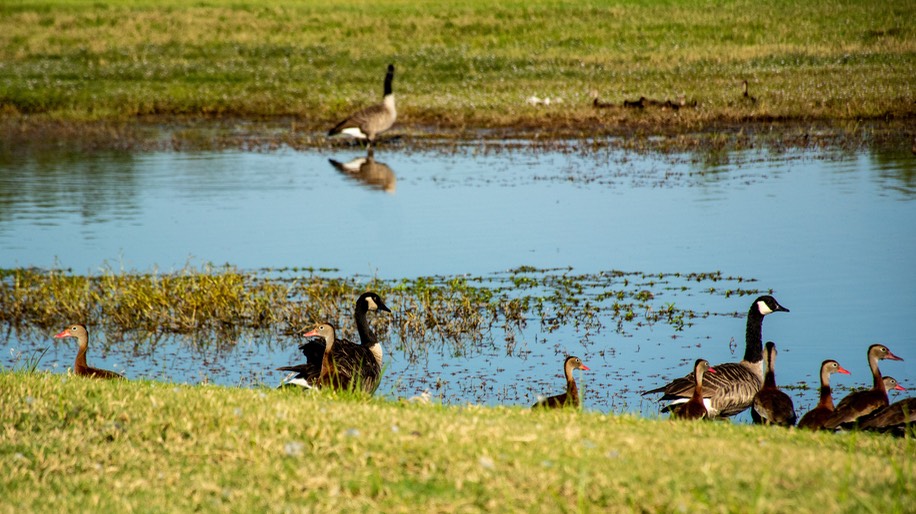
Our overnight spot was next to a pond outside the town. And there were millions of geese… and heron. We’re basically on the western edge of the Delta now: open fields, lots of water and birds, and the Mississippi River not too far east of us, with all its loops and turns. The Arkansas River joins it not far from us.
Now that we’ve left the interstate, we are back to sharing the road with farm equipment and sometimes can still see berries on the bushes, along train tracks. Cotton! Young corn! We’ve been going southeast-ish on Hwy 65 to join I-20 into Jackson, Mississippi. 65 is a great route. Sometimes called The Delta Rhythm and Blues Highway and then later The Bayous Country Rhythm and Blues Highway. We listened to music of the area.
And on into the tiny northeast corner of Louisiana (still the worst secondary roads in the nation) for a grand total of 65 miles before we jump into the state of Mississippi by crossing its huge namesake river.
We passed Vicksburg and drove on to Jackson, where we spent our last night on the road. The next day we trundled on south, down into southern Alabama and the place we call home.
It was time. We’d done our cross country journey of 2,400 miles in just eight days, which is longer than many folks would take but is pushing for us. Add that to our being on the road for over four months and all three of us were ready to be back. We’ll tell you more about coming home next time.
Hoping you are all well,
Rick, Kathy, and once again perky Slim Charles